
UNMANNED REMOTE SPECIALIZED ACCESS
A new and exciting division that has been established in the last year is Unmanned Remote Specialized Access. By definition Remote access is the ability to get access to an environment from a remote distance. The Group is focusing on supplying physical and mechanical access on this definition.
OUR SERVICES
We specialize in providing professional drone services through a certified and licensed provider to clients and partners in engineering, industrial fields, marketing, architectual and art.
OUR MISSION
To grow our company by providing high quality and value drone services to clients and partners in various industries, and continue to be one of the leaders and trusted voices of the URSA industry. We continue to learn, explore, and push the boundaries of what's possible, because we understand that what was exceptional yesterday may be great today, but would not be enough tomorrow.
Under this division falls the following product and service categories:
• Unmanned access for photography, imaging, and monitoring
• Unmanned access for security
• Unmanned access for geotechnical surveying
• Unmanned access for internal and external inspections
• Manned remote access for work completed
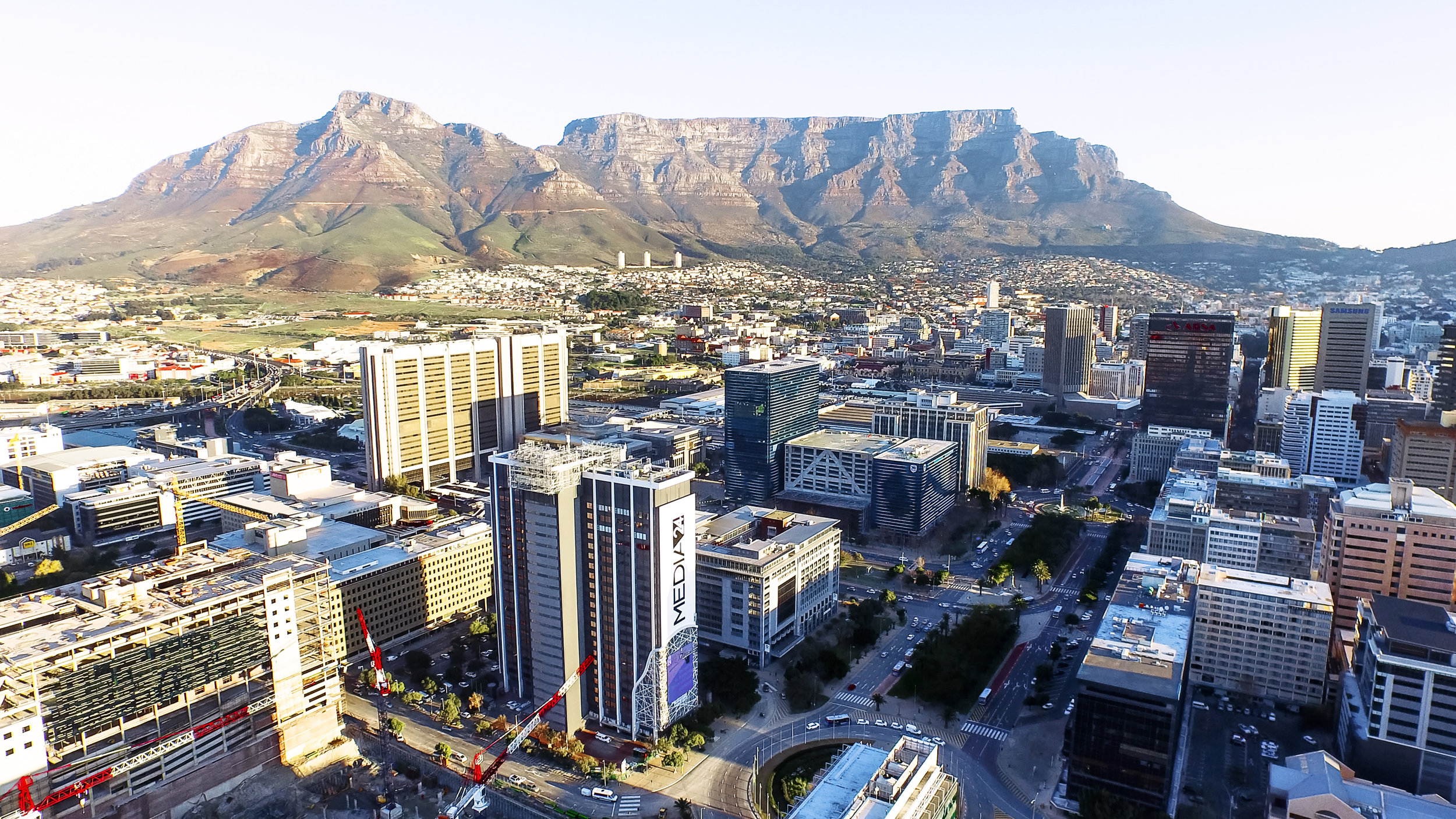
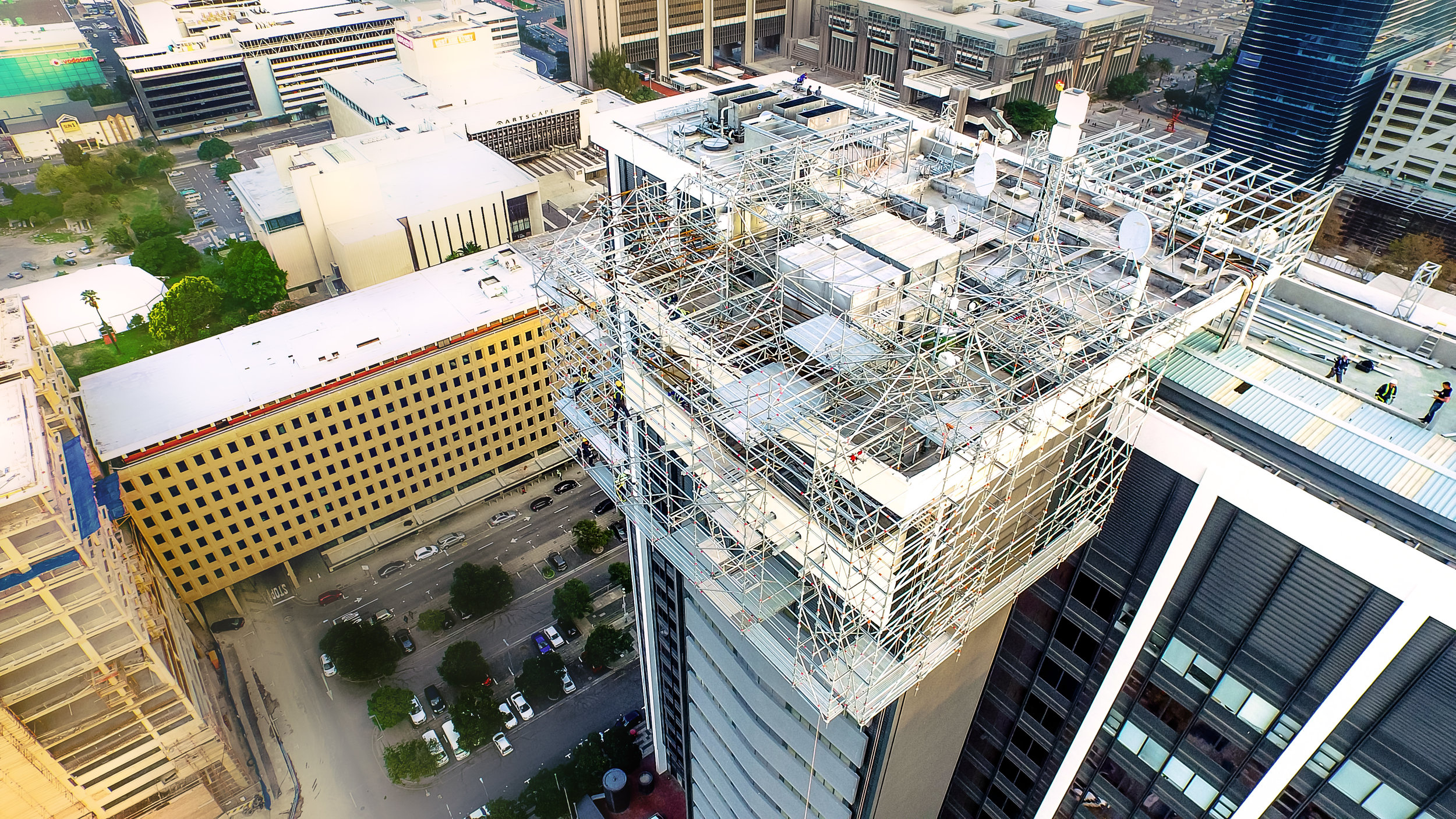
Structural and Area Inspections
Access and Perspective offered by Drones make them a perfect tool for safe and cost efficient structural inspections.
Thermal Imaging
Our Thermal camera drones feature fully stabilized Flir and regular camera, giving you live side-by-side feed of both the regular and thermal image. Inspect/Repair/Replace decision making made Easy!
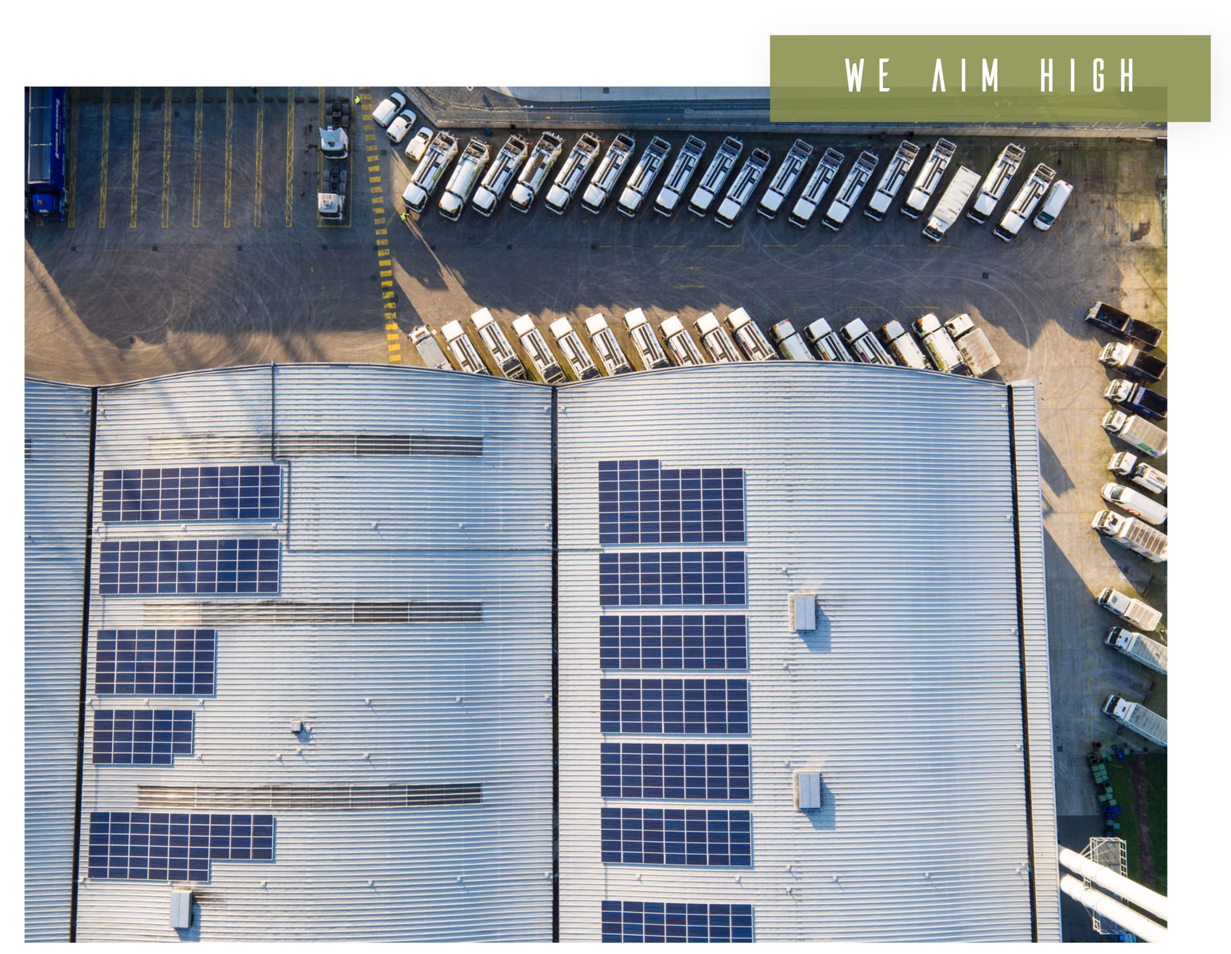
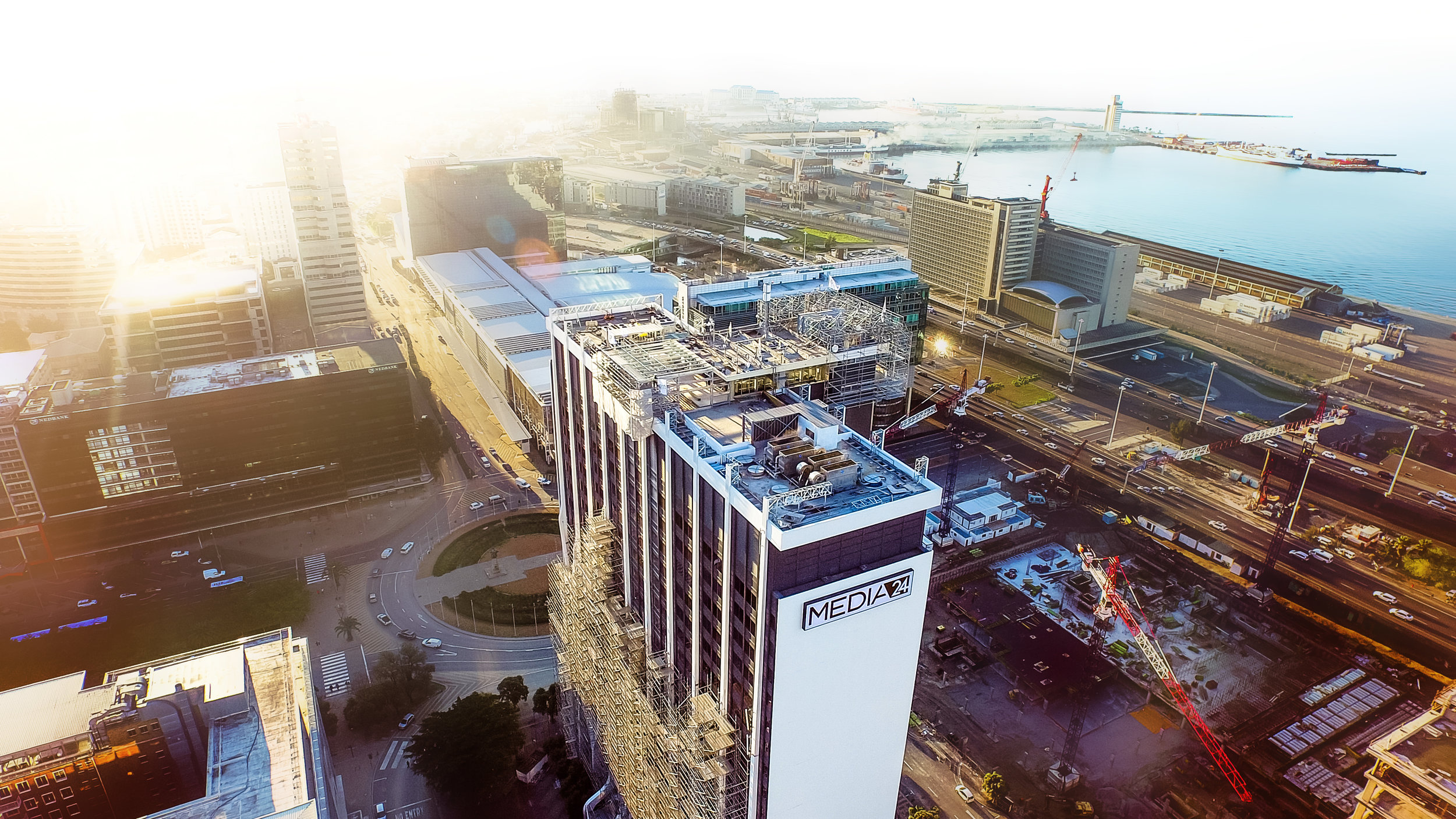
Construction Cycle Monitoring
Construction site progress monitoring and documentation made easy by timely and relevant drone imagery.
Consulting, Training, Workflow Integration
Looking to integrate drones within your organization's workflow? From choosing the appropriate UAS platform, through training and workflow implementation, our experts are ready to advise you.
True Orthomosaic
High resolution aerial maps with correct perspective, putting you in control of geographic data generation.
3D Point Cloud
Laser scanner quality 3D points from a drone camera - clean from moving objects, with limited occlusions, and low acquisition time.
Textured Model
Full 3D triangle mesh models with photorealistic texturing, perfect for sharing and online visualizations.
Digital Surface Models
Accurate, geo-referenced elevation map, ready for your preferred GIS workflow and volume calculations.